Global Lakes & Reservoirs Repository - GLR

| State | Machadinho de Almeida-RS/ Piratuba-SC |
|---|---|
| River name | Uruguai |
| sub-basin name | Pelotas |
| Company name | Alcoa Alumínio S/A./ Camargo Corrê a Cimentos S/A./ CELESC/ Cimento Rio Branco v / CBA/ Companhia Estadual de Energia Elétrica/ |
| Latitude | 27°31'40"S |
| Longitude | 51°47'13"W |
| Construction Period | 1997-2001 |
| Total installed power(MW) | 1140 |
| Destination of Energy | APE-COM/ PIE/ SP |
| Historical Maximum discharge(m3/s) | |
| Mean discharge (m3/s) | |
| Historical minimum discharge (m3/s) | |
| Basin area (km2) | 32050 |
| maximum operational water level (m) | 480 |
| extreme maximum water level (m) | 485.36 |
| operational water level (m) | 465 |
| minimum operational water level (m) | |
| Total volume (m3) | |
| Net volume (m3) | |
| Length (km) | 95 |
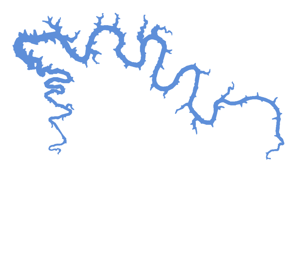
| Surface area at normal condition (km2) | 79 |
| Downstream water level(maximum) (m) | 398.0 |
| Downstream water level(normal) (m) | 374.8 |
| Downstream water level(minimum) (m) | 372.9 |
| Height of the spillway outlet (m) | |
| Height of the main dam (m) | 126 |
| Length of the main dam(m) | 700 |
| Vaciemiento máximo / Capacidad de descarge del vertedor (m3/s) | |
| Tipo | |
| Número de Compuertas Total | |
| superfície | |
| Base | |
| Largo (m) | |
| Altura (m) | |
| Cota del tipo de ogiva | |
| Longitud de la cresta (m) | |
| Número de unidades instaladas | |
| Potencial nominal (MW) | |
| Tipo | |
| Ancho Total (m) | |
| Largo Total (m) | |
| Desnível (m) | |
| Referencia | |
| Otro información |