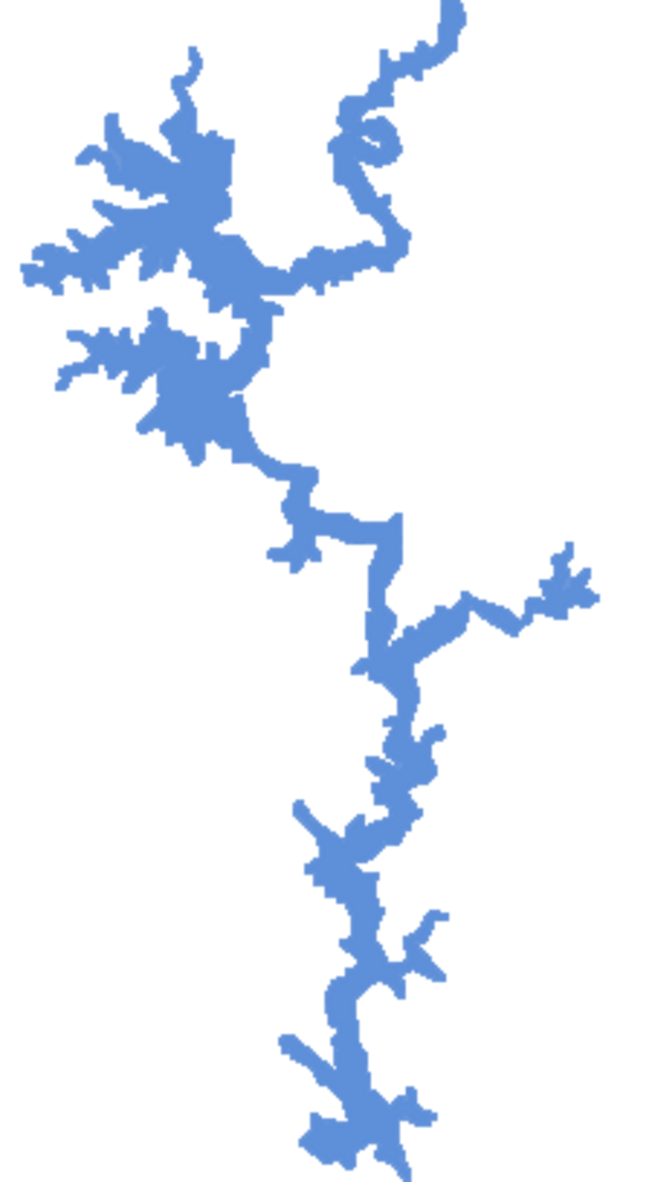
Global Lakes & Reservoirs Repository - GLR

| State | Caldas Novas-GO/ Corumbaíba-GO |
|---|---|
| River name | Corumbá |
| sub-basin name | |
| Company name | FURNAS |
| Latitude | 17°59'22"S |
| Longitude | 48°31'54"W |
| Construction Period | 1982 |
| Total installed power(MW) | 375 |
| Destination of Energy | GO, MG, SP |
| Historical Maximum discharge(m3/s) | |
| Mean discharge (m3/s) | |
| Historical minimum discharge (m3/s) | 27,800 |
| Basin area (km2) | |
| maximum operational water level (m) | 595 |
| extreme maximum water level (m) | |
| operational water level (m) | 570.00 |
| minimum operational water level (m) | |
| Total volume (m3) | 1,500,000,000 |
| Net volume (m3) | 1,030,000,000 |
| Length (km) | |
| Surface area at normal condition (km2) | 65 |
| Downstream water level(maximum) (m) | |
| Downstream water level(normal) (m) | |
| Downstream water level(minimum) (m) | |
| Height of the spillway outlet (m) | |
| Height of the main dam (m) | 90 |
| Length of the main dam(m) | 540 |
| Vaciemiento máximo / Capacidad de descarge del vertedor (m3/s) | 6,800 |
| Tipo | segmento |
| Número de Compuertas Total | 4 |
| superfície | |
| Base | |
| Largo (m) | 13 |
| Altura (m) | 90 |
| Cota del tipo de ogiva | |
| Longitud de la cresta (m) | 540 |
| Número de unidades instaladas | 3 |
| Potencial nominal (MW) | 125 |
| Tipo | Francis, |
| Ancho Total (m) | |
| Largo Total (m) | |
| Desnível (m) | |
| Referencia | http://www.caldas.com.br/diversos/usinade.htm |
| Otro información |