Salto Osório
| State |
Quedas do Iguaçu-PR |
| River name |
Paraná |
| sub-basin name |
Iguaçu |
| Company name |
Eletrosul |
| Latitude |
25°32'23"S |
| Longitude |
53°0'46"W |
| Construction Period |
1975 |
| Total installed power(MW) |
1078 |
| Destination of Energy |
PIE |
| Historical Maximum discharge(m3/s) |
|
| Mean discharge (m3/s) |
937.00 |
| Historical minimum discharge (m3/s) |
|
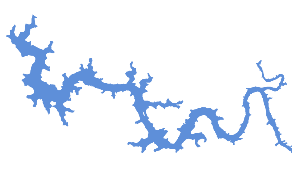
| Basin area (km2) |
45,800 |
| maximum operational water level (m) |
397.00 |
| extreme maximum water level (m) |
|
| operational water level (m) |
|
| minimum operational water level (m) |
|
| Total volume (m3) |
|
| Net volume (m3) |
|
| Length (km) |
|
| Surface area at normal condition (km2) |
51 |
| Downstream water level(maximum) (m) |
|
| Downstream water level(normal) (m) |
|
| Downstream water level(minimum) (m) |
|
| Height of the spillway outlet (m) |
|
| Height of the main dam (m) |
56 |
| Length of the main dam(m) |
|
| Vaciemiento máximo / Capacidad de descarge del vertedor (m3/s) |
28,000 |
| Tipo |
|
| Número de Compuertas Total |
|
| superfície |
|
| Base |
|
| Largo (m) |
|
| Altura (m) |
56 |
| Cota del tipo de ogiva |
|
| Longitud de la cresta (m) |
750 |
| Número de unidades instaladas |
6 |
| Potencial nominal (MW) |
|
| Tipo |
Francis |
| Ancho Total (m) |
|
| Largo Total (m) |
|
| Desnível (m) |
|
| Referencia |
|
| Otro información |
|