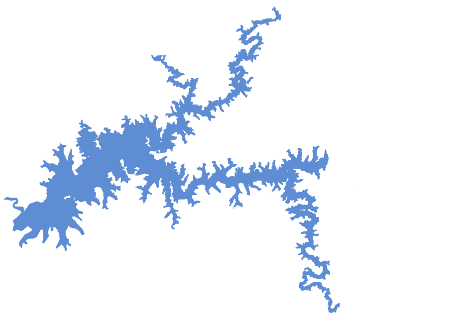
Global Lakes & Reservoirs Repository - GLR

| State | Itumbiara-GO/ Tupaciguara-MG |
|---|---|
| River name | Paraná |
| sub-basin name | Paranaíba |
| Company name | FURNAS |
| Latitude | 18°24'27"S |
| Longitude | 49°5'58"W |
| Construction Period | 1974-1980 |
| Total installed power(MW) | 2082 |
| Destination of Energy | GO/MG/SP |
| Historical Maximum discharge(m3/s) | |
| Mean discharge (m3/s) | |
| Historical minimum discharge (m3/s) | |
| Basin area (km2) | 778 |
| maximum operational water level (m) | 521.2 |
| extreme maximum water level (m) | |
| operational water level (m) | 520.00 |
| minimum operational water level (m) | 495 |
| Total volume (m3) | 17,000,000,000 |
| Net volume (m3) | 12,454,000,000 |
| Length (km) | |
| Surface area at normal condition (km2) | 778 |
| Downstream water level(maximum) (m) | |
| Downstream water level(normal) (m) | |
| Downstream water level(minimum) (m) | |
| Height of the spillway outlet (m) | |
| Height of the main dam (m) | 106 |
| Length of the main dam(m) | |
| Vaciemiento máximo / Capacidad de descarge del vertedor (m3/s) | 16,000 |
| Tipo | |
| Número de Compuertas Total | 6 |
| superfície | |
| Base | |
| Largo (m) | 15 |
| Altura (m) | 9 |
| Cota del tipo de ogiva | |
| Longitud de la cresta (m) | |
| Número de unidades instaladas | 6 |
| Potencial nominal (MW) | 347 |
| Tipo | Francis de eixo vertical |
| Ancho Total (m) | |
| Largo Total (m) | |
| Desnível (m) | |
| Referencia | |
| Otro información |