Global Lakes & Reservoirs Repository - GLR

| State | Itaguajé-PR/ Sandovalina-SP |
|---|---|
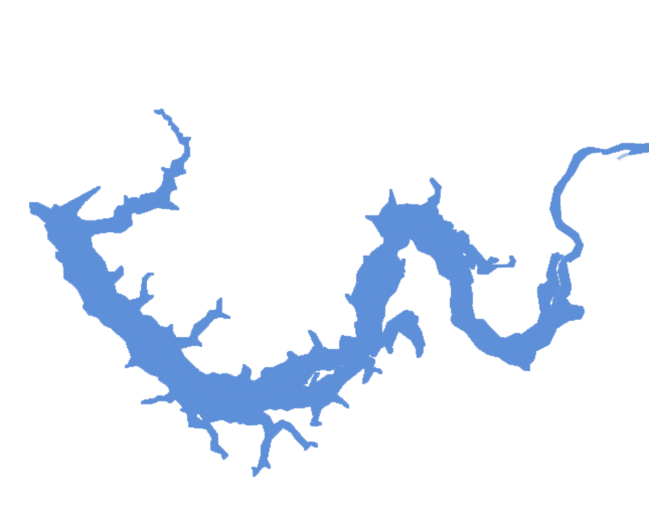
| River name | Paraná |
| sub-basin name | Paranapanema |
| Company name | DEIGP S/A |
| Latitude | 22°32'42"S |
| Longitude | 52°01'28"W |
| Construction Period | 1980-1989 |
| Total installed power(MW) | 554 |
| Destination of Energy | PIE |
| Historical Maximum discharge(m3/s) | 1270000 |
| Mean discharge (m3/s) | 95000 |
| Historical minimum discharge (m3/s) | 34000 |
| Basin area (km2) | |
| maximum operational water level (m) | |
| extreme maximum water level (m) | |
| operational water level (m) | 284.0 |
| minimum operational water level (m) | |
| Total volume (m3) | 670,000,000 |
| Net volume (m3) | |
| Length (km) | |
| Surface area at normal condition (km2) | 80.1 |
| Downstream water level(maximum) (m) | 267.40 |
| Downstream water level(normal) (m) | 260.05 |
| Downstream water level(minimum) (m) | 256.10 |
| Height of the spillway outlet (m) | 61 |
| Height of the main dam (m) | |
| Length of the main dam(m) | |
| Vaciemiento máximo / Capacidad de descarge del vertedor (m3/s) | |
| Tipo | |
| Número de Compuertas Total | 9 |
| superfície | |
| Base | |
| Largo (m) | 16.60 |
| Altura (m) | |
| Cota del tipo de ogiva | |
| Longitud de la cresta (m) | 198.40 |
| Número de unidades instaladas | |
| Potencial nominal (MW) | |
| Tipo | Kaplan |
| Ancho Total (m) | |
| Largo Total (m) | |
| Desnível (m) | |
| Referencia | |
| Otro información |