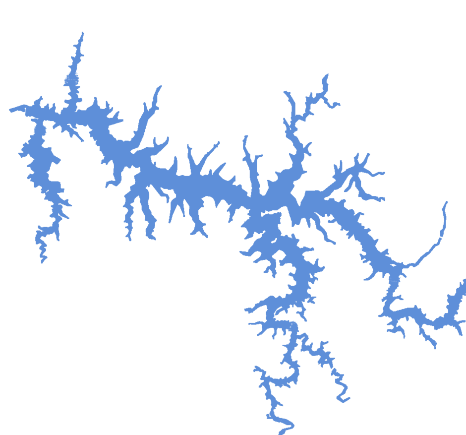
Capivara
| State |
Porecatu-PR/ Taciba-SP |
| River name |
Paraná |
| sub-basin name |
Paranapanema |
| Company name |
DEIGP S/A |
| Latitude |
22°39'28"S |
| Longitude |
51°40'1"W |
| Construction Period |
1971-1980 |
| Total installed power(MW) |
1676 |
| Destination of Energy |
PIE |
| Historical Maximum discharge(m3/s) |
1268000 |
| Mean discharge (m3/s) |
98600 |
| Historical minimum discharge (m3/s) |
21800 |
| Basin area (km2) |
|
| maximum operational water level (m) |
|
| extreme maximum water level (m) |
|
| operational water level (m) |
384.7 |
| minimum operational water level (m) |
|
| Total volume (m3) |
10540000000 |
| Net volume (m3) |
5600000000 |
| Length (km) |
|
| Surface area at normal condition (km2) |
576 |
| Downstream water level(maximum) (m) |
295.50 |
| Downstream water level(normal) (m) |
285.20 |
| Downstream water level(minimum) (m) |
283.60 |
| Height of the spillway outlet (m) |
|
| Height of the main dam (m) |
60 |
| Length of the main dam(m) |
|
| Vaciemiento máximo / Capacidad de descarge del vertedor (m3/s) |
|
| Tipo |
|
| Número de Compuertas Total |
8 |
| superfície |
|
| Base |
|
| Largo (m) |
16.00 |
| Altura (m) |
|
| Cota del tipo de ogiva |
|
| Longitud de la cresta (m) |
144.50 |
| Número de unidades instaladas |
|
| Potencial nominal (MW) |
|
| Tipo |
Francis |
| Ancho Total (m) |
|
| Largo Total (m) |
|
| Desnível (m) |
|
| Referencia |
|
| Otro información |
|